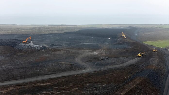
It is most likely that magma accumulation beneath Svartsengi is causing the uplift, though part of it is believed to result from the formation of a magma intrusion on Tuesday. It is currently difficult to assess the rate of magma accumulation.
GPS measurements show signs that land has started rising again at Svartsengi. This is stated in an announcement from the Veðurstofa Íslands (Icelandic Met Office).
“It is most likely continued magma accumulation beneath Svartsengi that is causing the uplift, though part of it is due to the effects of the formation of the magma intrusion on 1 April. This is because when magma intrusions form, they push the Earth’s crust outward on both sides,” reads the Met Office website.
It also notes that it is difficult to assess the rate of magma accumulation at this time and that it may take up to a week to evaluate the ongoing development of the magma accumulation.
Deformation measurements show that movement is still being detected at GPS stations near the northern part of the magma dyke, including in Vogar and near Keilir.
The same data also show measurable fracture movements, of a few millimetres, in the eastern part of Grindavík.
There was considerable micro-earthquake activity near Trölladyngja last night and in the evening. The largest quake in the swarm measured magnitude 4. Earthquake activity near the magma dyke, however, has been decreasing.
There is still some uncertainty regarding how things will develop in the coming days, and magma movement within the intrusion cannot be ruled out, according to the Met Office.
The Veðurstofa Íslands hazard assessment has been updated, though the overall hazard level across all zones remains unchanged from the previous version. In the area where the most recent eruptions have occurred, the hazard is considered high. The hazard is assessed as considerable in Grindavík and moderate in Svartsengi and the Blue Lagoon.
Source: Ruv.is


